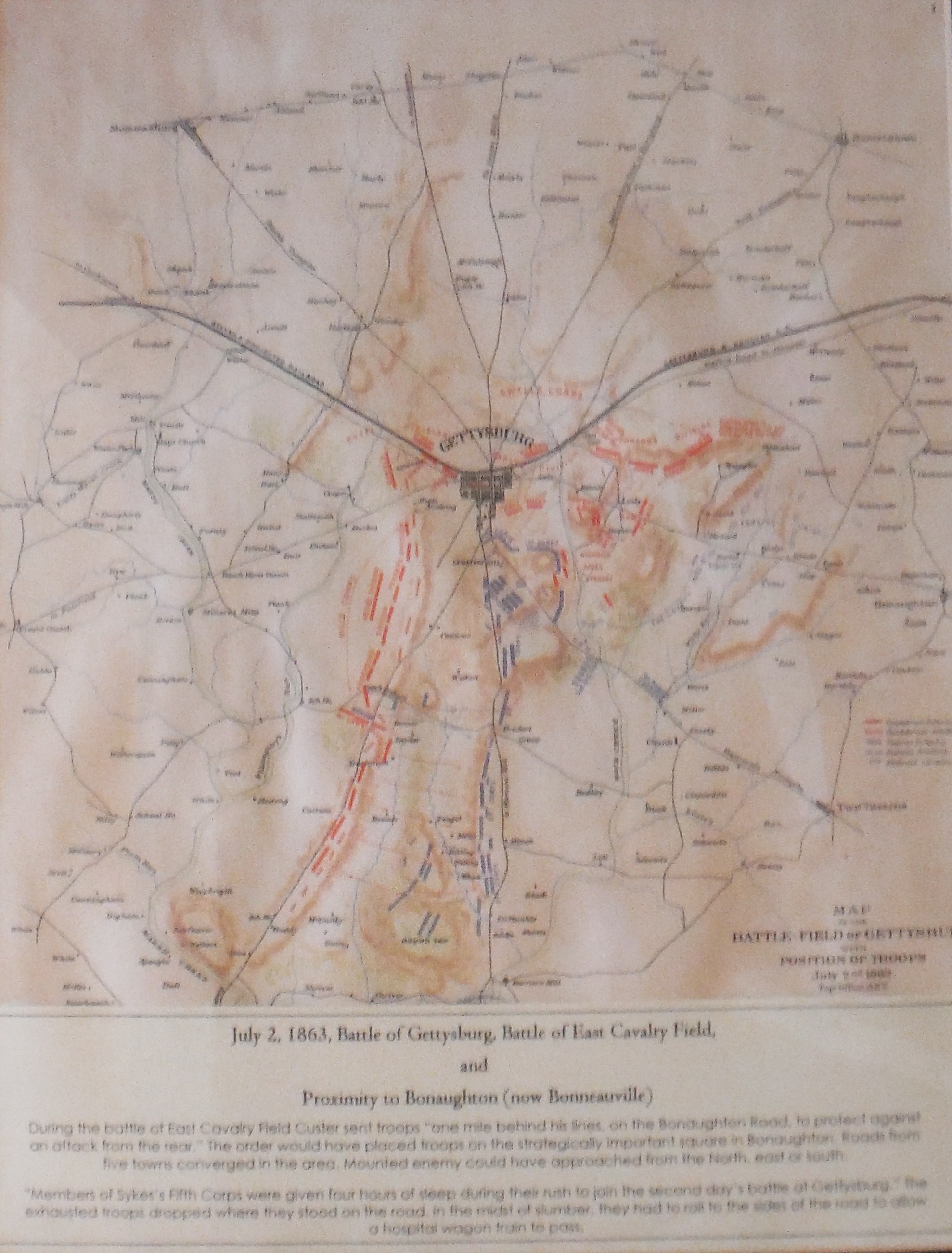
This is one of the few Gettysburg Battle maps that includes Bonaughton (Bonneauville). The position of General Custer's troops is shown west of the town. The Low Dutch road from Rt. 116 to the south appears to be missing from the map. Some Civil War authors have therorized that the intersection was the objective of the Battle of East Cavalry Field. The road omission error indicates that that may not have been the case.
During the battle, Gen. Custer positioned some of his mounted troops one mile to the rear of the battle on the Hanover Road. That would have placed the troops about on the square in Bonneauville. Logically it would have been the most strategic place to have rear guard soldiers. From there the enemy could have approached Custer's rear from the north, east, or south on five different roads: Hunterstown, New Oxford, Hanover, Littlestown and Two Taverns. All could have been observed from the area of the Bonneauville square.
10 1/2 x 13 1/2 inches, framed and matted.