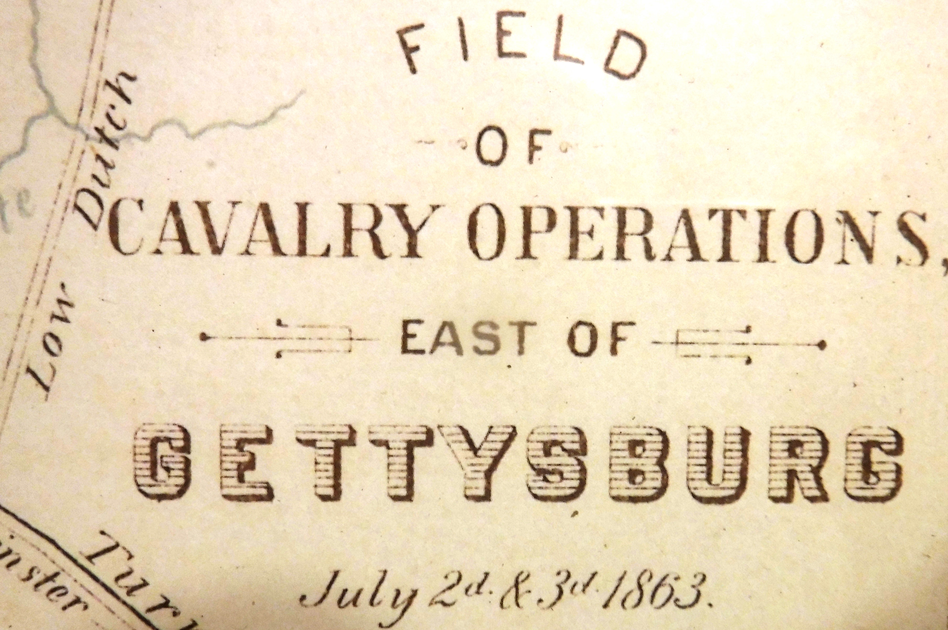
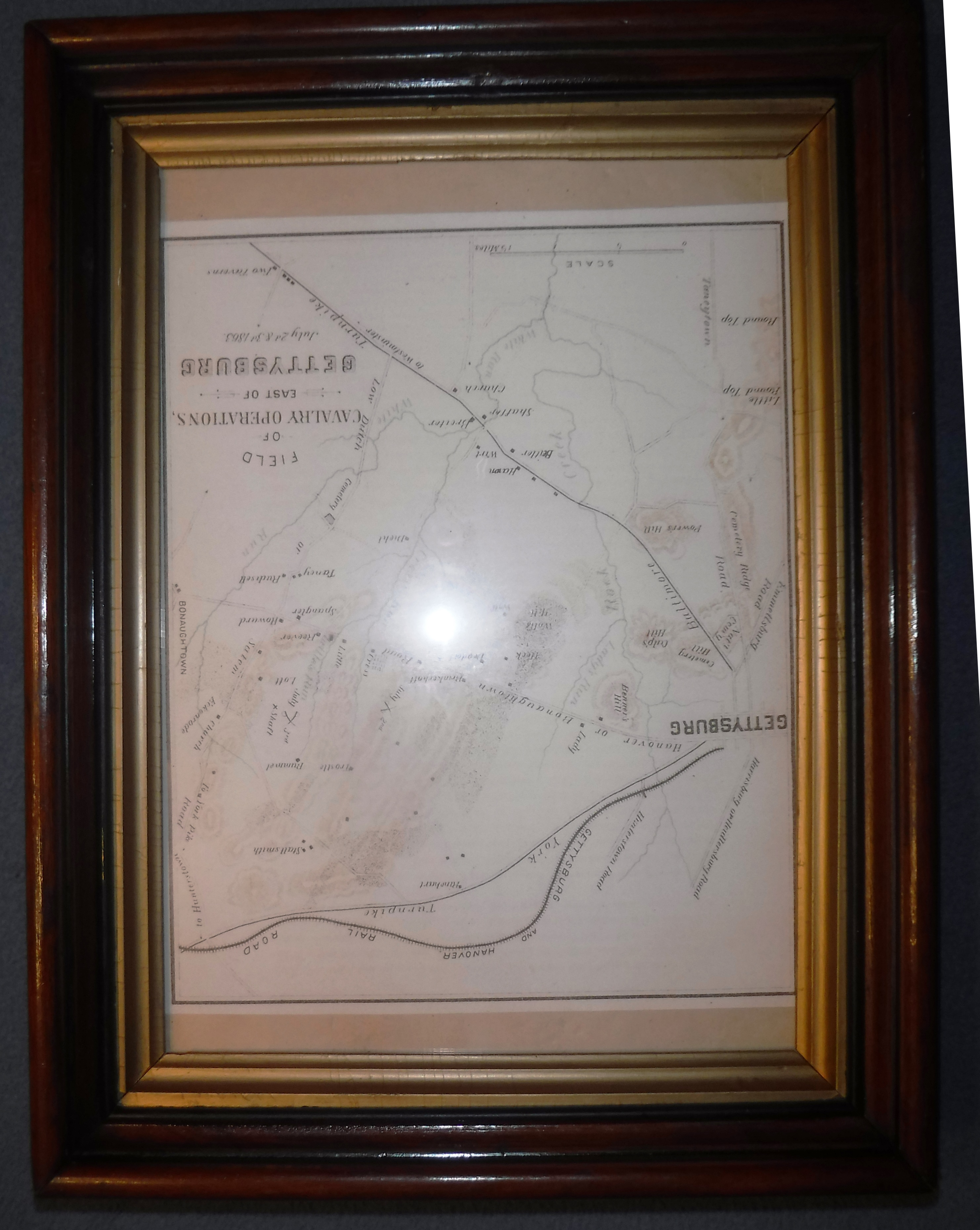
This map spans the area from Gettysburg to Bonaughtown during July 2nd and 3rd, 1863. The road between the two towns is labeled; "Hanover or Bonaughtown Road". The topographical layout gives a good perspective of how close to the town of Bonnneauville the Battle of Gettysburg, and especially the BAttle of East Cavalrt Field, had come. The map also depicts the gentle lay of the land between the two towns.
The origin of this map is the book: " Pennsylvania at Gettysburg Ceremonies at the Dedication of the Monuments Erected by the Commonwealth of Pennsylvania ", 1893. Vol. II