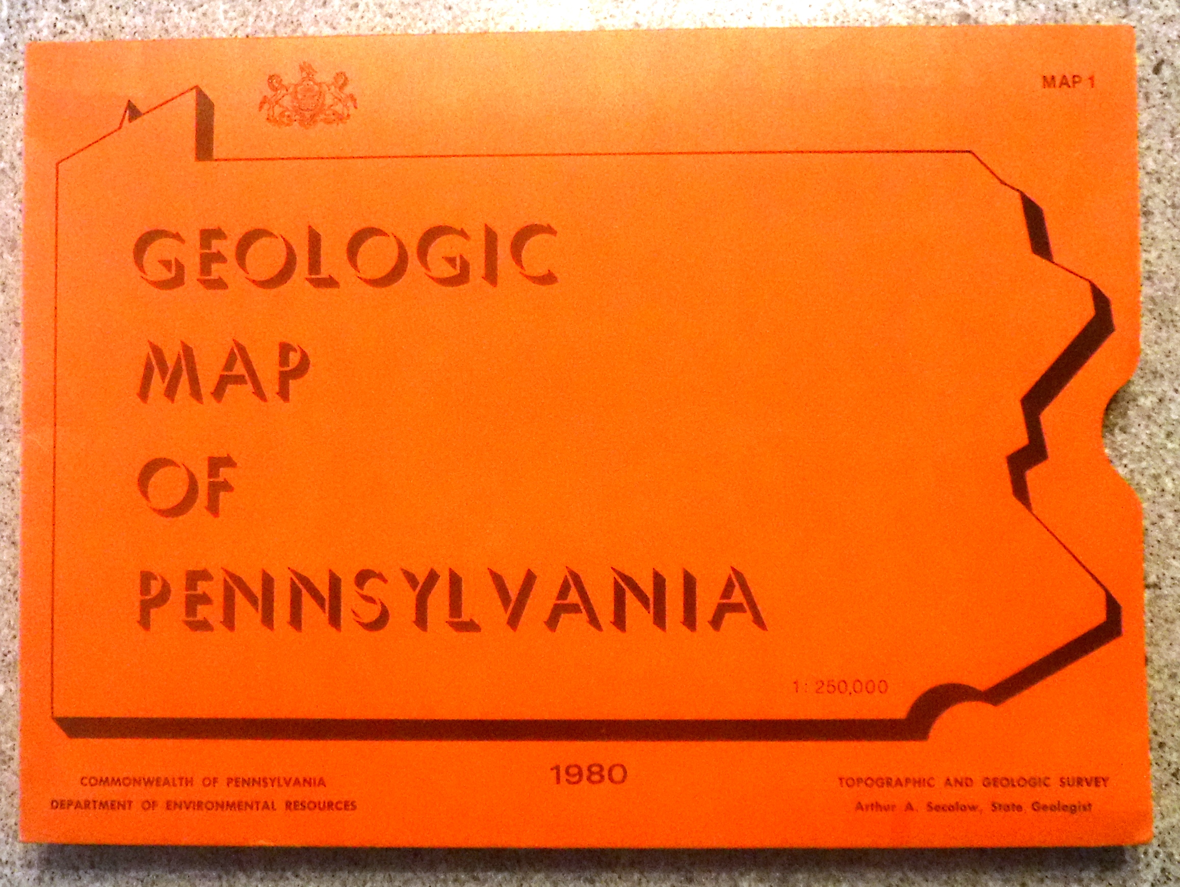
2020-01A
General Information - (Bullets copied from https://ngmdb.usgs.gov/Prodesc/proddesc_34341.htm)
• “Title: Geologic map of Pennsylvania
• Author(s): Berg, T.M., Edmunds, W.E., Geyer, A.R., Glover, A.D., Hoskins, D.M., MacLachlan, D.B., Root, S.I., Sevon, W.D., and Socolow, A.A.
• Publishing Organization: Pennsylvania Geological Survey
• Series and Number: Map 1
• Publication Date: 1980
• Map Scale: 1:250,000
• Cross Section: Yes
• North Latitude: 42° 16' 12" N (42.2700)
• South Latitude: 39° 43' 12" N (39.7200)
• East Longitude: 74° 41' 24" W (-74.6900)
• West Longitude: 80° 31' 12" W (-80.5200)”
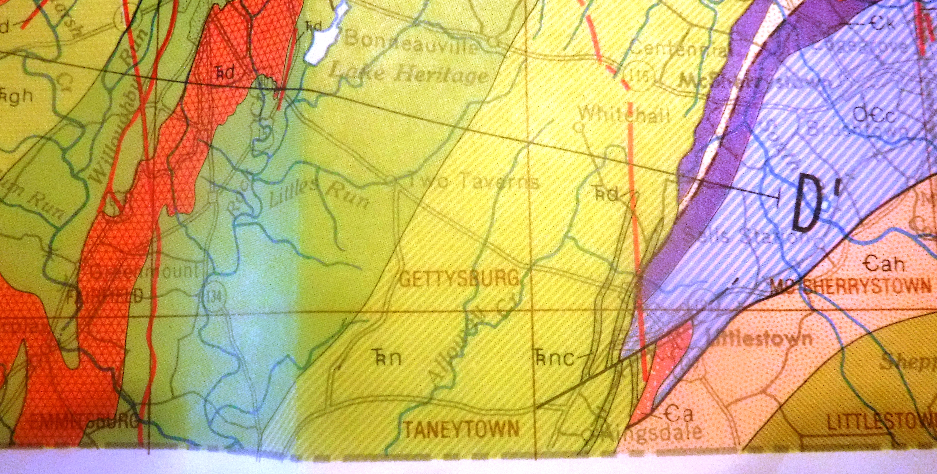
Red Shale;
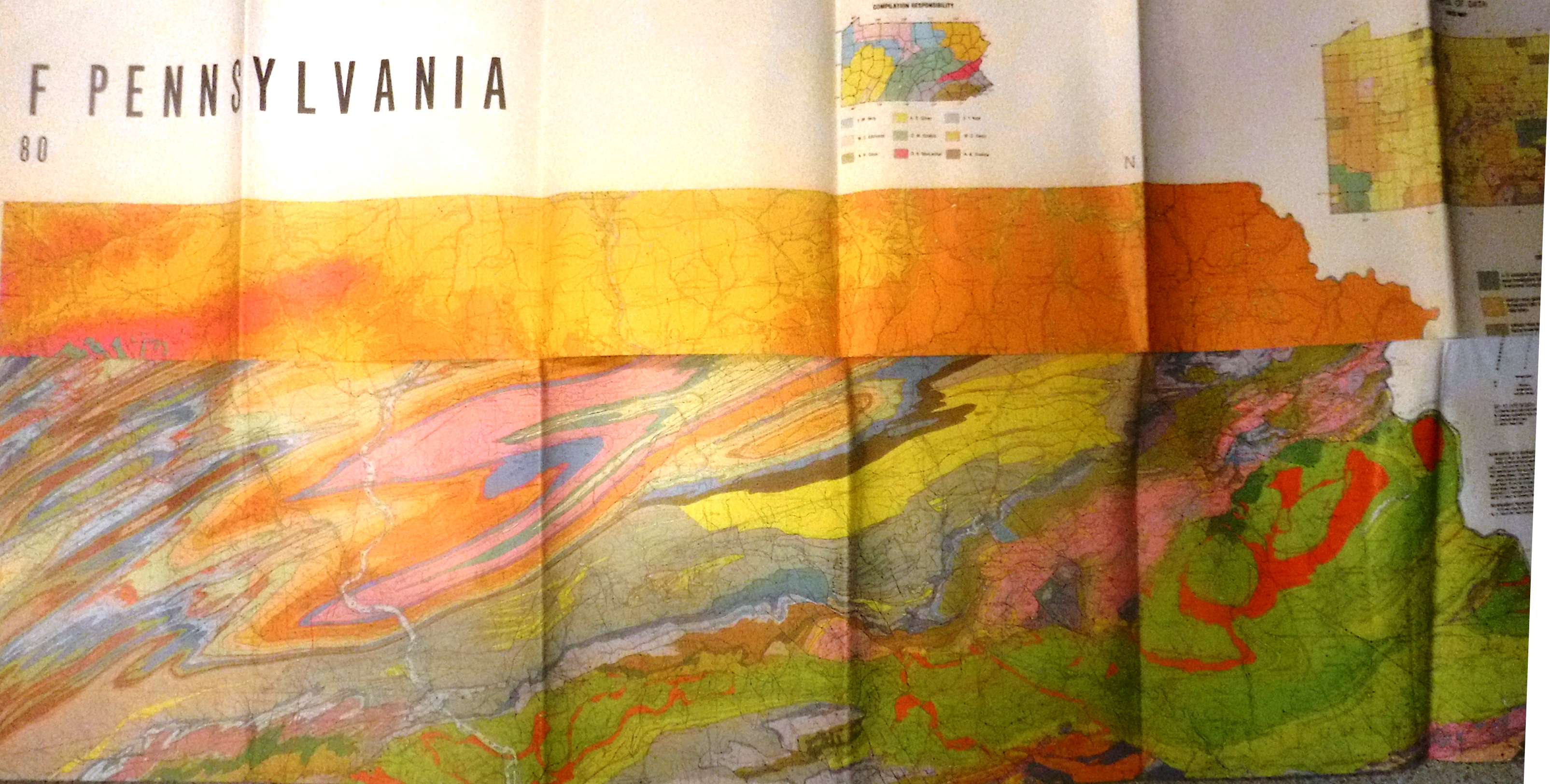
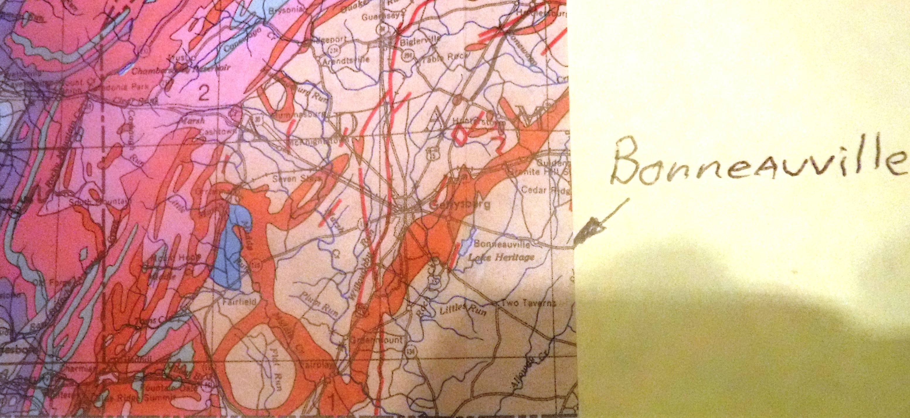
In what appears to be an abstract artistic fashion, the vivid, contrasting splashes of color across this collection of maps denotes the geological evolution in Pennsylvania. Shown are eons of development of the states topography and rock types. The slanted moss green color band on which Bonneauville lies, denotes rather mundane rock makeup when compared to the rest of the state. Eons of volcanic, and plate tectonic activity of neighboring zones throughout Pennsylvania, resulted in tremendous variations in the makeup of the rock foundation of the state.
Below the 5,000 to 10,000 thousand foot depth of the red shale, is an area colored white with black dots. The identification for this area is “insufficient data for interpretation.”
The cross section map defines the area on which Bonneauville lies as; Triassic Era, (occurring between 251 million and 199 million years ago) “Gettysburg Hammer Creek and Brunswick Formations. Undivided”.